Nominating your project is the first step toward gaining global recognition for your contributions to infrastructure. Plus, all nominees, finalists, and winners will receive exciting rewards and other benefits.
Nominees
- A feature in the Infrastructure Yearbook, showcasing the best digital infrastructure projects in the world
- A Leader in Infrastructure Certificate from Bentley Systems
- Placement in PR and marketing activities
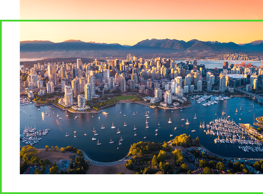
Finalists
- All of the above
- A free trip to YII 2024 in Vancouver
- Opportunity to present your project before the jurors, peers, and key members of the industry’s most influential press
- The honor of receiving a trophy at the highly anticipated Going Digital Awards
Winners
- All of the above
- A USD 1,000 donation to Engineers Without Borders-International in their organization’s name
- Globally distributed press release, featuring the winning projects and organizations
- Additional coverage from strategic media partners
- A custom-designed trophy, honoring your category and project
- A framed photo of your organization’s representative accepting the award