Project
Macquarie Geotechnical
향상된 지하 인사이트를 위한 지하 현실 모델링
Project
Macquarie Geotechnical
향상된 지하 인사이트를 위한 지하 현실 모델링
지반 모델링 및 해석
시드니, 뉴사우스웨일즈주, 호주
사용된 Bentley 소프트웨어
iTwin Capture, Leapfrog
프로젝트 개요
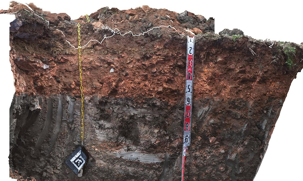
Australian ground investigation firm Macquarie Geotechnical selected two sample projects to demonstrate the importance of data capture and intuitive communication of subsurface information. One was a regional highway pavement investigation project with considerable variation in layer thickness, and the other was a greenfield rail project that exhibited shrink-swell behavior. Macquarie experimented with various applications to overcome the shortcomings of traditional geotechnical investigation approaches. However, these lacked the technical and interoperable features for seamless digital workflows.Macquarie selected iTwin Capture and Leapfrog to augment traditional geotechnical data and modeling with subsurface photogrammetry. Using Bentley’s integrated applications allowed for more accurate modeling and provided a visual, contextual understanding of the subsurface conditions for stakeholders in formats compatible with their civil design software. The detail captured in the models allowed fieldwork to progress without the need for key decision makers to be on site, estimated to save AUD 90,000 in time and travel costs. The reality modeling solution also saved approximately 600,000 cubic meters of quarried materials, achieving significant financial and carbon benefits.
