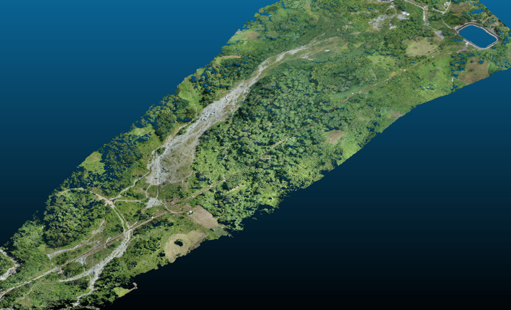
GeoShield helps a local owner-operator protect hydropower infrastructure from landslide risk in the Mindanao area. The organization’s Civil Support Department and Operations and Maintenance Team needed asset-specific intelligence because reactive landslide management exposed access roads, pipelines, slopes, surge tanks, and power generation reliability to safety risk, downtime, and repair cost.
Using iTwin with third-party geotechnical applications, GeoShield connected lidar, photogrammetry, electrical resistivity tomography, GIS analysis, field observations, AI-powered predictions, and digital twin simulation in a shared decision environment. The pilot predicted two probable landslide-prone areas before major failure, achieved 85% AI prediction accuracy and 91% digital twin detection accuracy, helped avoid approximately USD 6.8 million in potential losses, and saved 50% in work hours while supporting safer renewable energy operations.