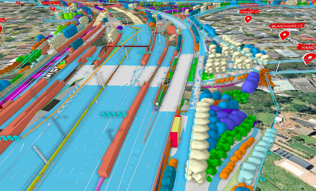
The Australian Department of Transport and Planning wanted to establish a governed statewide reality data layer for road and rail corridors across Victoria. Accomplishing that goal would require managing high volumes of point clouds, imagery, and 3D models. They also had to overcome fragmented storage and inconsistent metadata, naming, and spatial standards that made trusted dataset discovery slow and limited reuse across projects.
Using Bentley Infrastructure Cloud and iTwin Capture Cloud Services, the department established a single authoritative environment for governed ingestion, validation, cataloguing, and downstream integration across digital twins, GIS, engineering workflows, and asset systems. The workflow reduced time needed to locate, validate, and access suitable datasets by an estimated 50% and increased reuse across projects by 20%, while helping teams reduce repeat captures and support more reliable transport decisions.