Zwycięzca
Organizacja i nazwa firmy
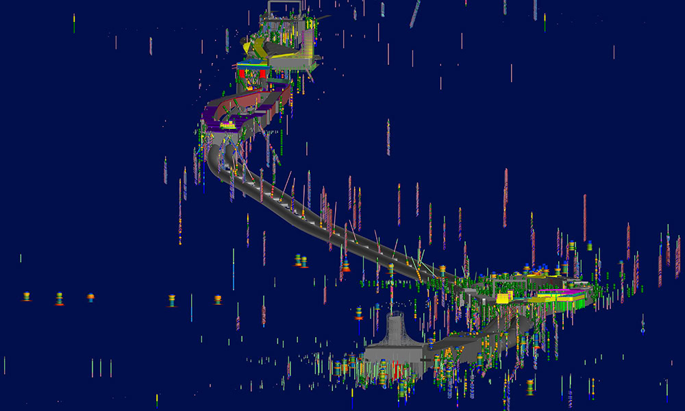
Spark i WSP
North East Link – odcinek centralny
Źródło obrazu: Spark i WSP
Zwycięzca
Organizacja i nazwa firmy
Spark i WSP
North East Link – odcinek centralny
Źródło obrazu: Spark i WSP
Kategoria konkursu
Modelowanie i analiza podpowierzchniowa
Lokalizacja
Melbourne, Wiktoria, Australia
Wykorzystane oprogramowanie Bentley
GeoStudio, Leapfrog, OpenRoads, PLAXIS, ProjectWise
Podsumowanie projektu
Victoria’s largest infrastructure project, the North East Link will improve connectivity in Melbourne’s freeway network, removing 15,000 trucks from congested roads. Successful delivery of the project required Spark’s engineering design team to bring in seven design consultancies, including WSP, who is responsible for modeling and communicating the complex geological site conditions and risks. To rapidly model, capture, visualize, and integrate the voluminous ground engineering data for multidisciplinary design evaluation, the team needed flexible, comprehensive geotechnical software and a connected data environment. Using Leapfrog, PLAXIS, and ProjectWise, WSP developed, refined, and delivered 3D subsurface models that were integrated into the federated project model for design analysis and construction planning. Working in a connected digital platform streamlined workflows, saving 1,500 hours in collaborative modeling. Through comprehensive geotechnical modeling, the team optimized risk management and design compliance, saving AUD 6 million, and were able to recycle excavation materials, saving an additional AUD 10 million. The 3D geological models will be incorporated into the digital twin to support tunnel operation and emergency management.
