Project
Kenya Geological Survey
Kenya Nationwide Airborne Geophysical Survey
Project
Kenya Geological Survey
Kenya Nationwide Airborne Geophysical Survey
Subsurface modeling and analysis
Nairobi, Kenya
Bentley software used
Oasis montaj
Project summary
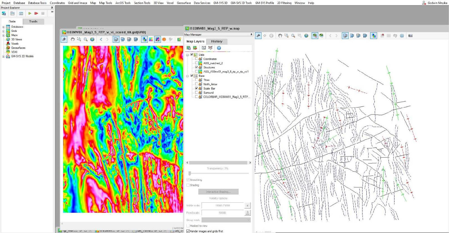
To update and revise geological maps, publish mineral prospect maps, and support infrastructure development as well as groundwater and geothermal exploration, Kenya Geological Survey (KGS) initiated a survey project to capture geophysical data covering the entire Kenyan territory. The project provides potential for geothermal energy, alleviating water access issues, and driving mining GDP above 10%. With more than three million line-kilometers, KGS faced big data management issues on a short timeline. They needed a platform that could prepare large databases of high-resolution survey data from design to post-acquisition.
KGS selected Oasis montaj, providing a full lifecycle framework to integrate multiple blocks of data from multiple platforms, perform QC analyses, and generate reports. Seequent’s application allowed all project participants to implement exact models on data quality control and processing, resulting in seamless, standardized data to accurately update and revise the geological maps and mineral potential. The digital geoscience data survey and processing solution improved efficiencies by 30% and reduced costs by 40% delivering the project.
