Geospatial and reality modeling

Recognizing teams who apply technology in extraordinary ways to deliver measurable outcomes in infrastructure visualization.
YEAR IN INFRASTRUCTURE

2026 Geospatial and reality modeling finalists

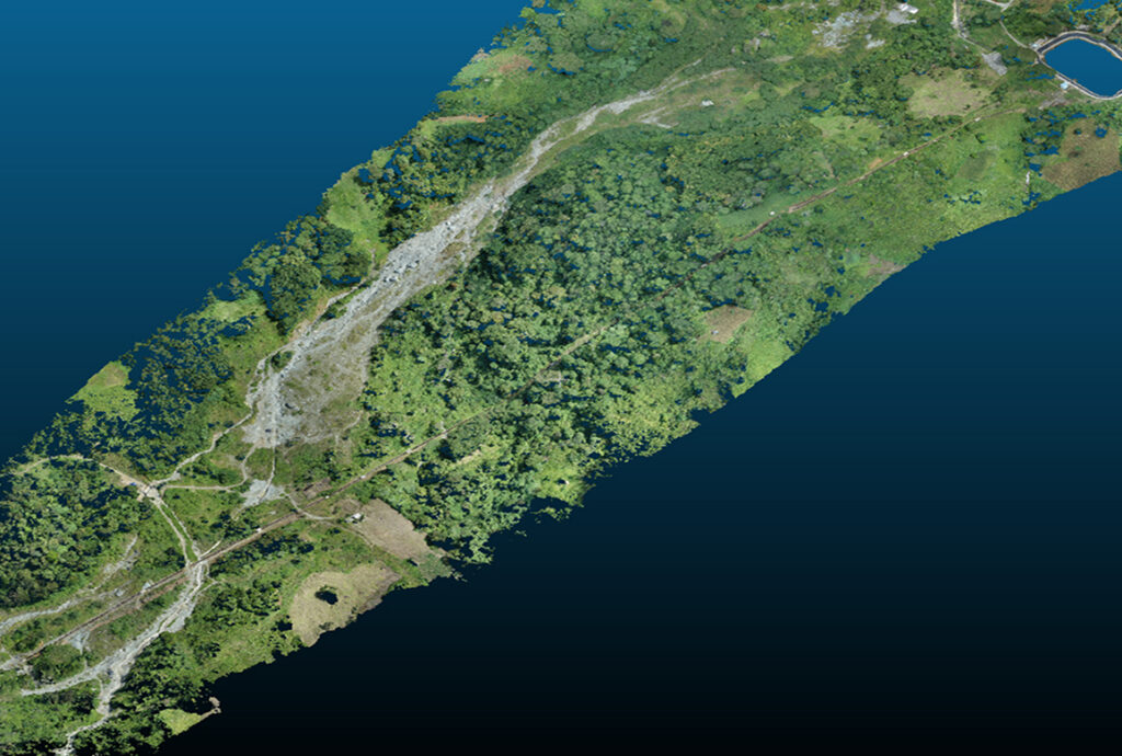
A detailed reality mesh of a large, vegetated land area for a renewable energy project, a finalist project by Aboitiz Renewables, Inc.

Aboitiz Renewables Inc.

GeoShield: Predicting landslide risk with geospatial intelligence
Geospatial and reality modeling
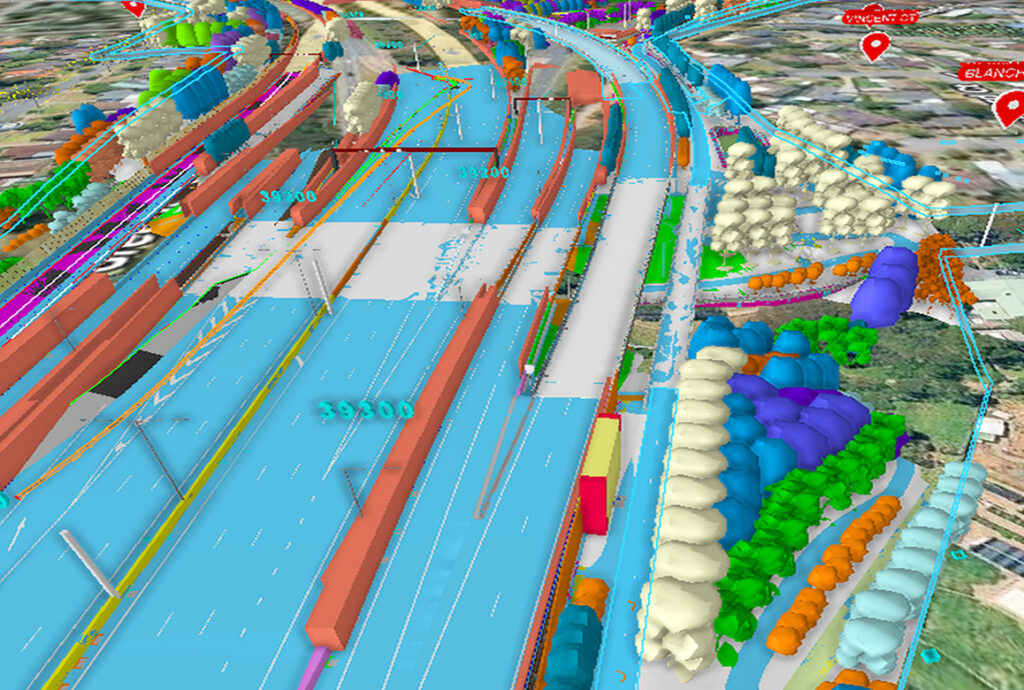
A complex digital twin of a transportation corridor showing various design layers and data integrated with the surrounding environment, a finalist project by the Department of Transport and Planning.

Department of Transport and Planning

Transport reality capture and integrated reality data management platform: Creating a shared view of the physical network  
Geospatial and reality modeling
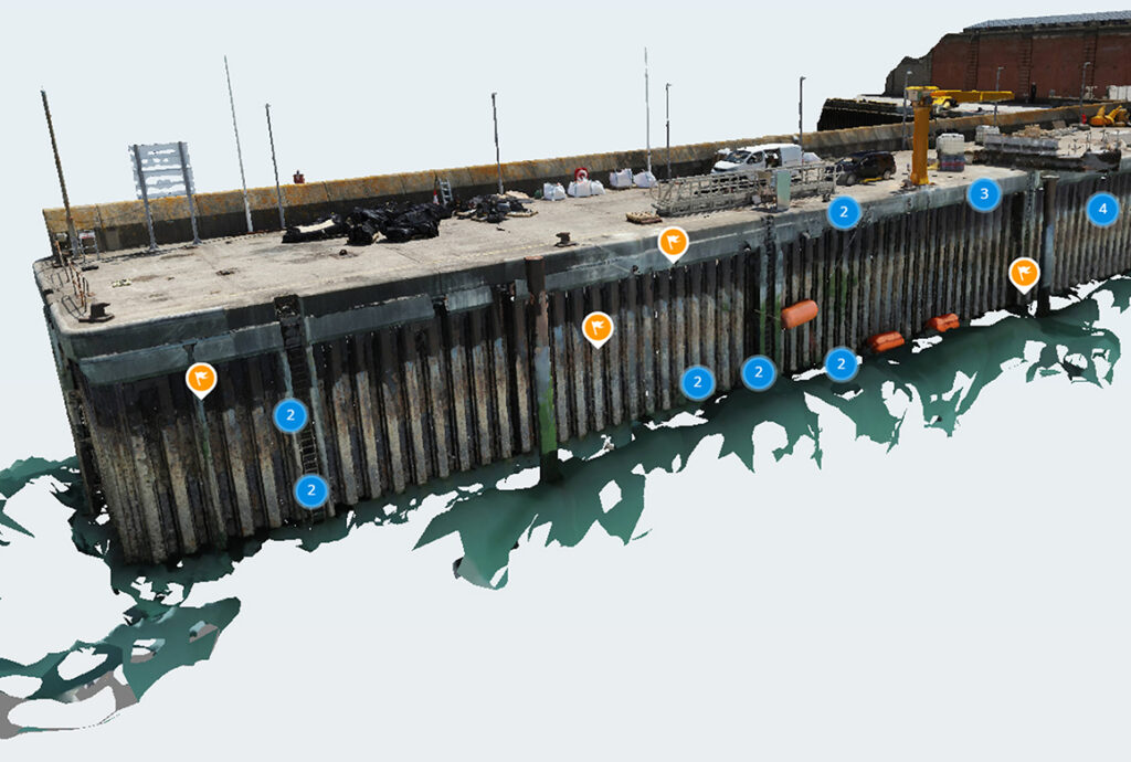
A reality model of a harbor quay wall with data points overlaid for structural inspection, a finalist project by Haskoning.

Haskoning

Port of Dover: Scaling maritime inspection with drones
Geospatial and reality modeling

Award category criteria

Show how your use of the technology delivered improved outcomes for the organizations involved and the communities served.
Demonstrate how your use of technology delivered measurable results through reality modeling, 3D geospatial modeling, mobile mapping, instrumentation, and sensor data management.
Submissions should demonstrate use of Bentley applications, independently or combined with other software, across the project lifecycle. Eligible software includes Cesium and iTwin Capture.
Show what made your approach stand out. Consider: creative use of Cesium or iTwin Capture, strong visualization of complex assets, and workflows that helped teams understand, share, and act on infrastructure data.
Detail how your project improved performance: the value of reality modeling and geospatial context, a clear workflow from data capture to actionable insight, and the use of AI or machine learning where relevant.
Provide quantified results: cost savings across design, construction, and maintenance, along with time savings, resource optimization, and stronger risk management.
Showcase impact on climate adaptation, disaster preparedness, energy savings, carbon reduction, improved resilience, quality of life, and mitigated risk.
Include high-quality visuals: images, screenshots, models, simulations, animations, charts, and diagrams. Provide quantitative data where applicable. Show how digital twins and AI advanced project delivery or asset performance.
Questions? Contact [email protected].