Congratulations to the 2025 Founders’ Honors recipients. Chosen individually by Bentley’s founders and executives, these exemplary projects and organizations inspire us in our company’s vision of advancing the world’s infrastructure while sustaining both the global economy and the environment.
Inspiring projects—direct from our leadership
Hear from our leadership team about their chosen projects and how they're making a positive impact.
Company
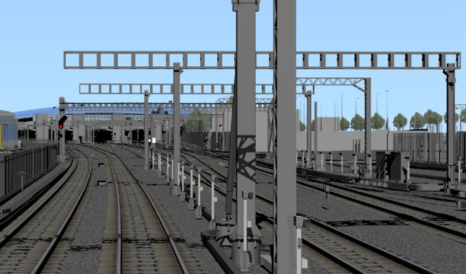
AECOM
Location
London, United Kingdom
Old Oak Common Great Western railway station rail systems